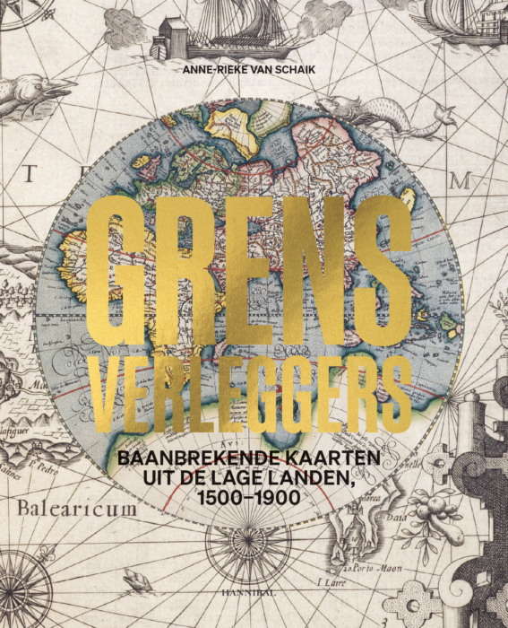
Een boeiende duik in de cartografie en de geschiedenis van de Lage Landen
Een oude kaart geeft niet alleen een geografische situatie weer, ze belichaamt ook een ware ontdekkingstocht door de wereldgeschiedenis. Historica Anne-Rieke van Schaik duikt in de talrijke verhalen achter de fascinerende kaarten, prenten, atlassen, globes en instrumenten uit de collectie van de Phoebus Foundation. De objecten zijn getuigen van zowel glorieuze passages als zwarte bladzijden uit het verleden van de Lage Landen, van de strijd tegen het water en de Tachtigjarige Oorlog tot de koloniale expansie en de Belgische onafhankelijkheidsstrijd.
Bijzondere aandacht gaat uit naar de Zuidelijke Nederlanden, waar in de zestiende eeuw pionierende cartografen als Gerard Mercator en Abraham Ortelius voet aan grond kregen. Hun kaarten openden letterlijk en figuurlijk nieuwe wegen. In hun tijd waren ze vaak innoverend, maar ook vandaag nog bieden ze unieke vergezichten op het verleden. Zo nodigt Grensverleggers aan de hand van honderden prachtige afbeeldingen uit om de horizonten van de eigen wereld opnieuw te verkennen en te verleggen.
Anne-Rieke van Schaik was onderzoeksfellow Topografie & Cartografie bij The Phoebus Foundation en is momenteel lid van onderzoeksgroep Explokart, verbonden aan het Allard Pierson en de UvA.
- 29 × 25 cm
- 320 pages
- Hardcover
- Dutch edition
- Quadrichromy
- ISBN 978 94 6466 611 3

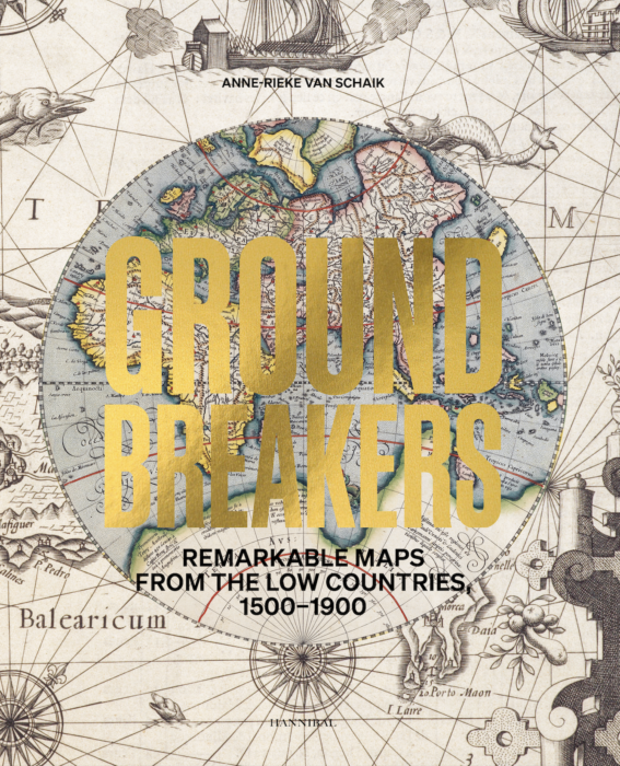
A fascinating immersion into the cartography and history of the Low Countries
An old map does not only represent a geographical situation; it also embodies a veritable journey of discovery through world history. In this book, historian Anne-Rieke van Schaik immerses herself in the many stories behind the fascinating maps, prints, atlases, globes and instruments belonging to the Phoebus Foundation’s collection. These objects testify to glorious moments and dark interludes in the history of the Low Countries, from the never-ending battle against water and the Eighty Years War to colonial expansion and the struggle for Belgian independence.
Particular attention is paid to the Southern Netherlands, where pioneers like Gerard Mercator and Abraham Ortelius broke new ground in the sixteenth century. Their maps opened up new paths, both literally and figuratively. Not only were they innovative in their own time, but even today they continue to offer unique panoramas of the past. With hundreds of beautiful images, Groundbreakers invites you to rediscover and redefine the horizons of your own world.
Anne-Rieke van Schaik was Research Fellow in Topography & Cartography at The Phoebus Foundation and is currently a member of the Explokart research group, affiliated to the Allard Pierson and the UvA.
- 29 × 25 cm
- 320 pages
- Hardcover
- English edition
- Quadrichromy
- ISBN 978 94 6494 104 3
Other editions


Related books


